Eyes in the Sky, Every Day
Track crop health across your entire operation with daily multispectral satellite imagery. Our algorithms detect stress, nutrient deficiency, and water issues days before they're visible to the naked eye.
- NDVI, NDRE, and thermal band analysis updated daily
- Historical comparison to spot season-over-season trends
- Automatic anomaly alerts sent straight to your phone
- Coverage for fields of any size — no flyovers needed
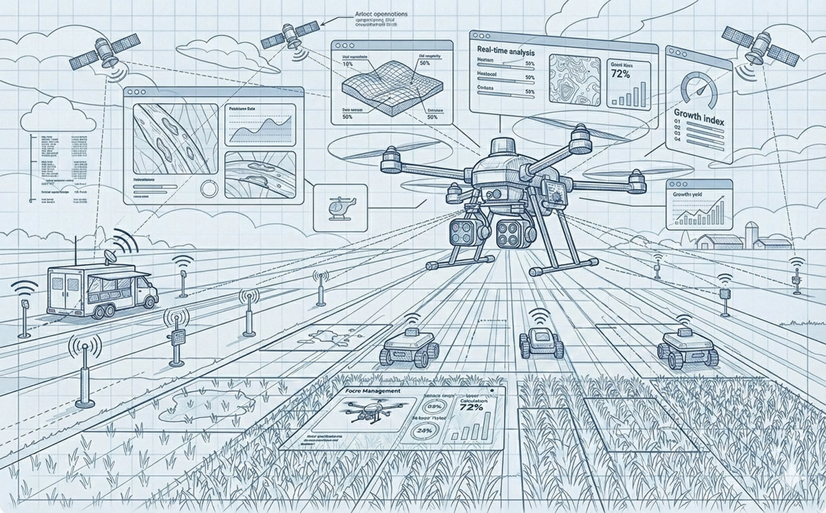
Precision Where It Matters
When satellite data flags a concern, deploy drones for centimeter-level detail. Capture high-resolution imagery of problem zones, count stand populations, and assess disease spread without walking a single row.
- Sub-inch resolution for pest and disease identification
- Automated flight planning based on satellite hotspot data
- 3D terrain and canopy height modeling
- Seamless upload and overlay on your field maps
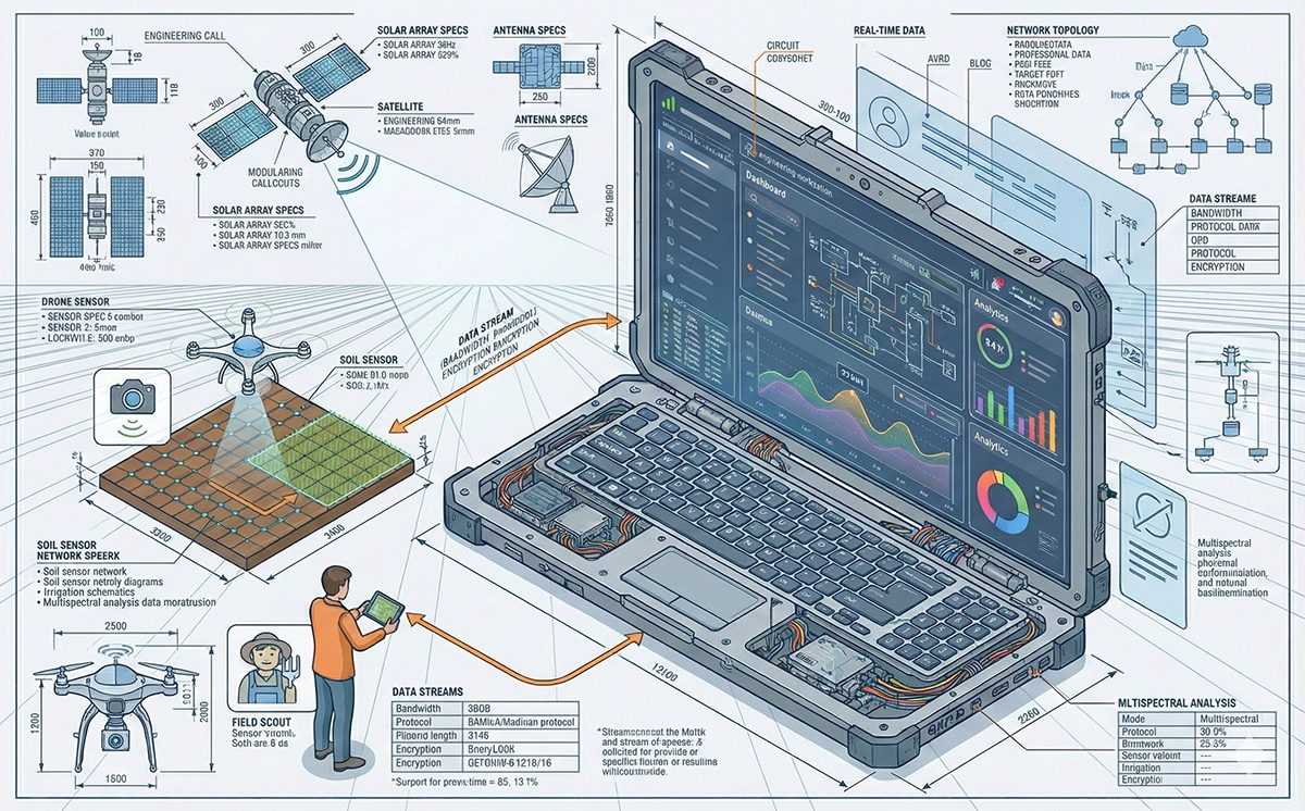
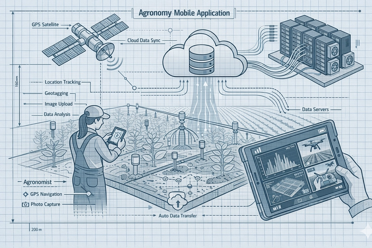
Boots on the Ground, Data in the Cloud
Equip your agronomists with a purpose-built mobile app. Drop geo-tagged pins, snap photos, record observations, and sync everything to the platform in real time — even from spotty cell coverage.
- GPS-guided navigation to flagged problem areas
- Offline mode with automatic sync when back online
- Photo capture with built-in annotation tools
- Instant sharing with growers and stakeholders
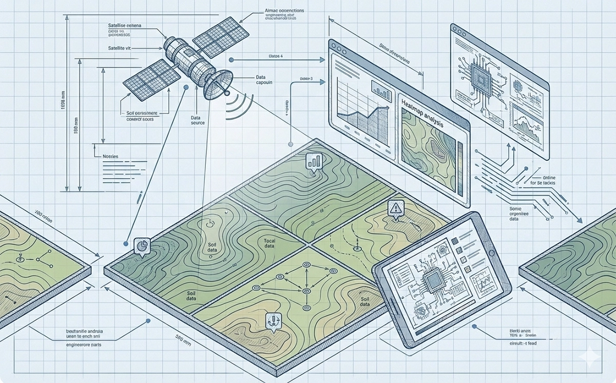
One Dashboard. Full Visibility.
Satellite passes, drone flights, and scout reports all flow into a single timeline. No more switching between apps or reconciling spreadsheets — every data layer lives on one interactive map.
- Layer satellite, drone, and scout data on a single map view
- Time-slider to replay field changes across the season
- Custom alerts and thresholds for every field and zone
- Export-ready reports for lenders, insurers, and partners